A high-altitude route reserved for experienced hikers. The recently built mountain hut is situated on a peak surrounded by glaciers and serves as the starting point for the ascent of Castore and Polluce. When crossing the vast Verra Glacier, even if there are no visible crevasses, caution dictates that you should proceed roped together.
Description
Head back about thirty paces along the tarmac road and take the footpath that starts next to a canopy between the two bridges and heads north, passing through a cluster of houses; after passing a lovely rascard currently being renovated, you reach the bridge over the Verra stream, where you’ll find the regional trail signpost. Following the signposts for trail (7), you set off along the paved mule track which climbs steeply alongside the stream and crosses it shortly afterwards via a wooden bridge, after an initial stretch bordered by a few low stone walls, another section follows where the original route is lost amongst numerous tracks that climb haphazardly until they rejoin the old mule track, which climbs gently with wide hairpin bends in theshade of the larch trees until you reach the junction below the village of Fiery. Continue along the path on the right, crossing a clearing where the slender silhouette of the Don Bosco mountain chalet stands out on the right – a five-storey stone building, a reminder of a bygone era of tourism. Back in the woods, follow the path as it climbs with a few steep bends; occasionally it splits only to rejoin a little further on; where the paving is absent and the gradient becomes steeper, the tenacious roots of the larch trees hold the path in place whilst the branches offer shelter from the hot summer sun. Soon the gradient eases and the path turns to the right, almost level, towards the stream that can be heard roaring at the bottom of the gorge. You pass the remains of a charcoal kiln: a circular, flat area of ground where charcoal burners used to pile up wood and, after covering it with earth, let it burn slowly to produce charcoal. Immediately afterwards, you cross a stream used for irrigation and join the dirt track which leads gently downhill to Pian di Verra. Follow the track across the beautiful grassy plateau, surrounded by the last stretches of coniferous woodland, until you reach the bridge over the Verra stream. Towering above the larch trees are the imposing moraine and the magnificent glaciers descending from the Breithorn, Castore and Polluce. Just after crossing the bridge, take path
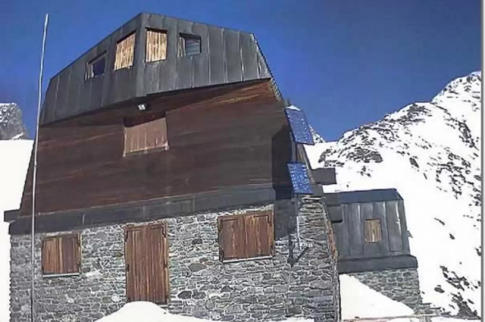
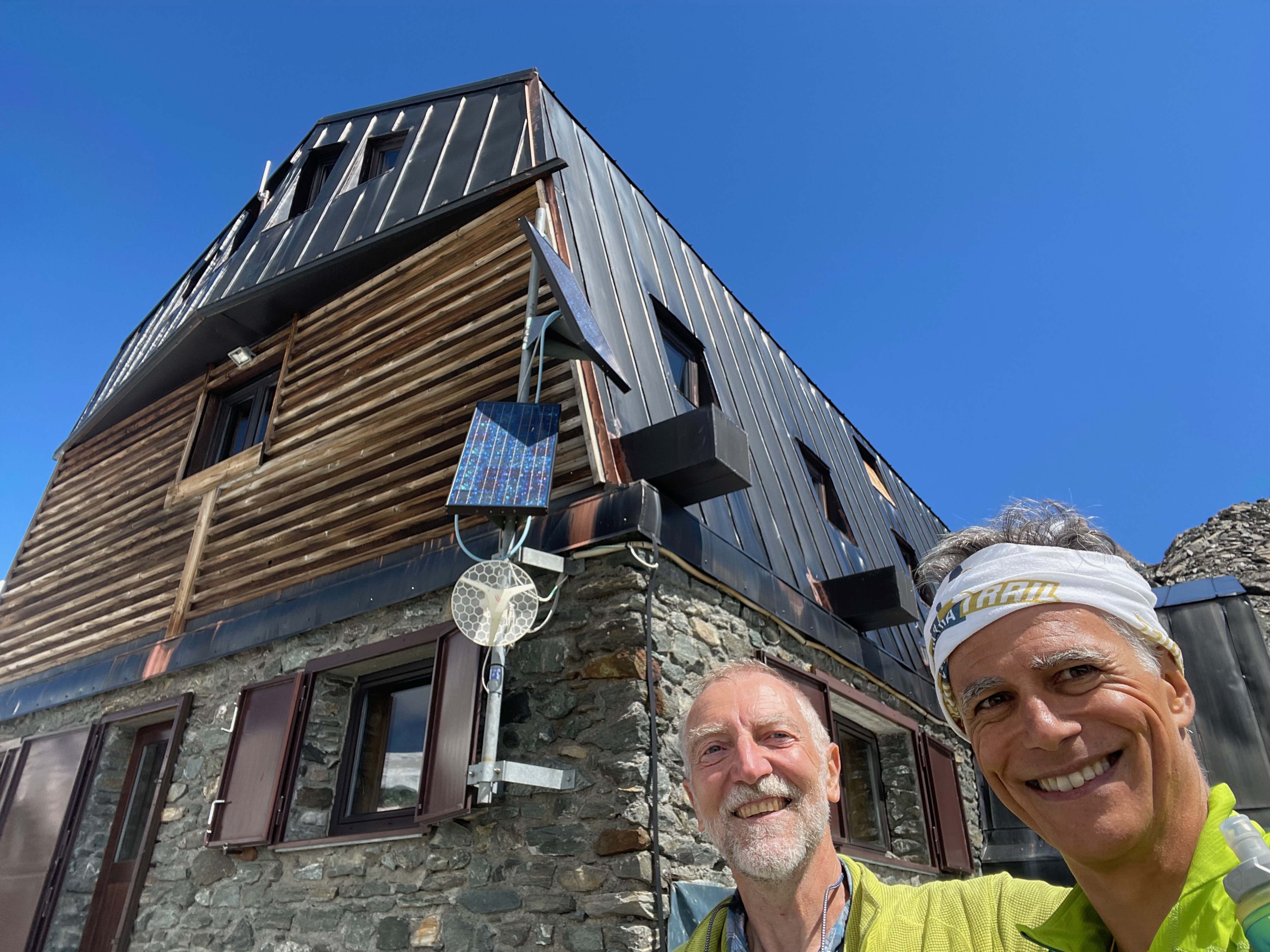
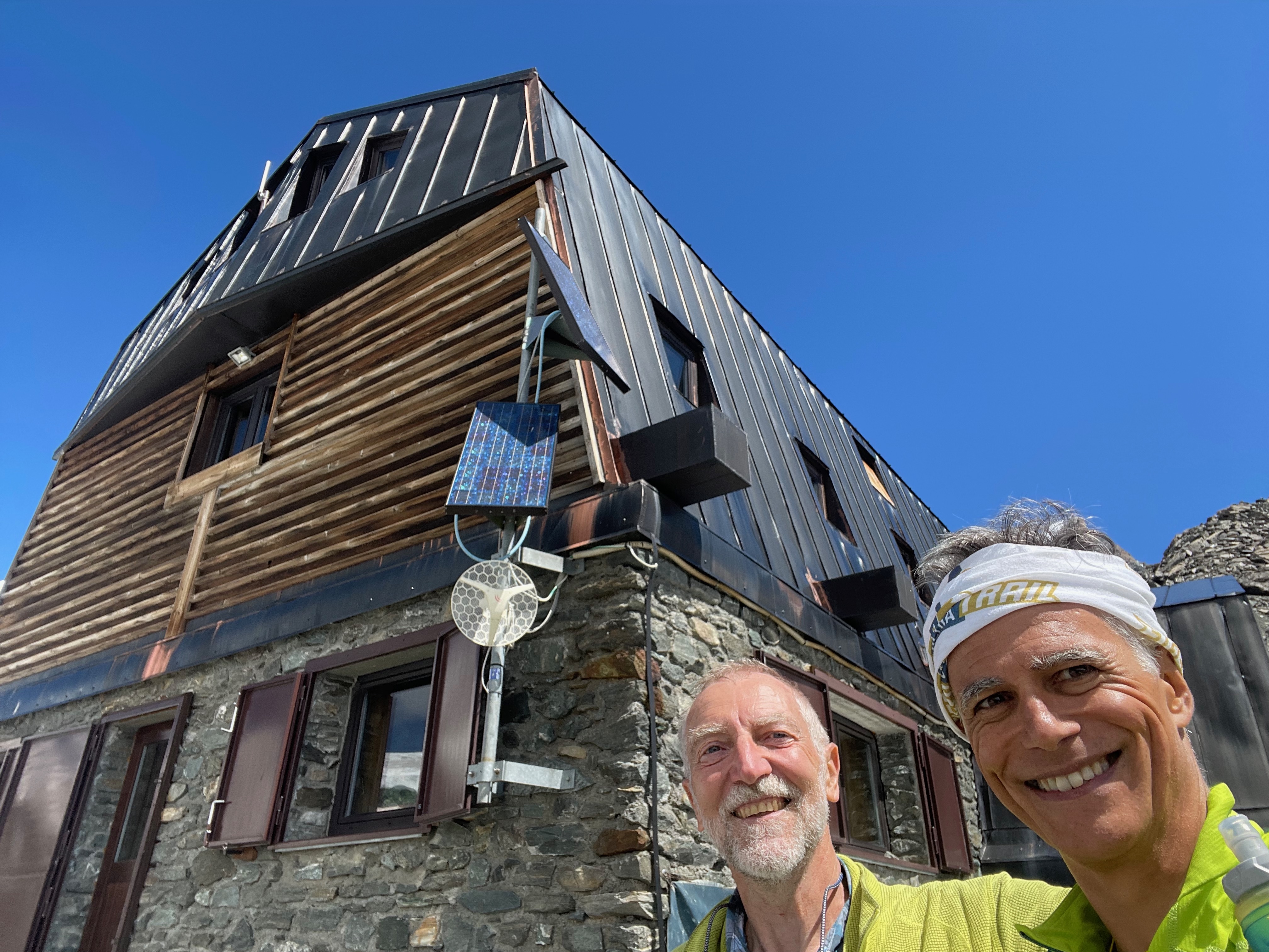
, which starts on the left and cuts across the numerous bends of the dirt track leading to Pian di Verra Superiore. Walking in the shade of the larch trees, you climb the arid slope until, having emerged from the woods and near the stream that you can hear rushing on your right, you reach the dirt track which you follow into the valley. After a short, gently descending stretch that takes you close to the crystal-clear water, the path begins to climb again; you cross a small plateau and, after a gentle bend, reach the sign marking the start of the path to the Mezzalama Mountain Hut. Leave the dirt track for the steep path which climbs in tight hairpin bends up the side of the moraine until you reach a small rock face smoothed by glaciers and the point from which you can make out the Val d’Ayas Guides’ refuge in the distance; Shortly afterwards, the gradient eases; you cross a flat meadow dotted with a few boulders and arrive at the junction with the path ascending from Pian di Verra Superiore. Keeping to the left, follow the marked path which climbs the side of the moraine at a moderate and steady gradient until the Mezzalama refuge comes into view; it is recognisable by its distinctive red window frames and is still an hour’s walk away. As soon as you reach the top of the grassy slope, thewide valley carved out by the glacier, appearing arid and barren, with meltwater flowing along the valley floor, forming a striking contrast with the outer slope, now colonised by high-mountain grassland where it is not uncommon to see herds of ibex grazing. Continuing along the ridge, you can see on the left the dark-coloured glacial tongue, which has been in constant retreat for several years; after a short descent, the path begins to climb again until it reaches the second hump, where you can catch your breath, about half anhour from the refuge. As you gain altitude, the whitish waters of a glacial lake come into view on the right, in the distance. Once you reach the tree line, where the green of the grass gives way to the grey of the rocks, the refuge comes into view after a final bend and can be reached in a few minutes. From the Mezzalama mountain hut, take a few steps to the left until you reach the helicopter landing pad, where the path to the Guide della Val d’Ayas mountain hut begins. After an initial stretch amongst the jagged rocks and boulders left behind by the glacier as it retreated, the path gradually narrows to an indistinct track, whilst the yellow waymarkers become more frequent and lead to the red rocks, where you must negotiate a small step requiring a little agility. Once you reach the edge of the great Verra Glacier, you cross it along a flat stretch with no obvious crevasses, heading towards the rocky tower on which the refuge stands. On leaving the glacier, it is advisable not to stop beneath the beautiful seracs on the left – which could collapse – but to head decisively towards the steep snowfield, mixed with scree, on the right. Climb up this, skirting the rock face until the gradient eases and you begin to catch sight of the refuge’s corrugated iron roofs; continuing to the left, you’ll come across the yellow trail markers once more, which lead to the base of the short south-east spur, here, carry on along the narrow path, which is equipped with fixed ropes in the trickiest sections and is normally free of snow in late summer, until you reach the main entrance to the refuge in a few minutes. The return journey follows the same route as the outward journey.



Comments (0)
Sign in to leave a comment